


Published: Monday, 21th October 2024
Comparedoo.com welcomes you to explore the detailed comparison between Delaware and Maryland.
Dive in and compare them across different aspects like cost of living, standard of living, geography, demographics, environment, society, economy, health factors and many more.
Enjoy exploring!


 Indicators  | Delaware  | Maryland  |
|---|---|---|
Official Name  | State of Delaware | State of Maryland |
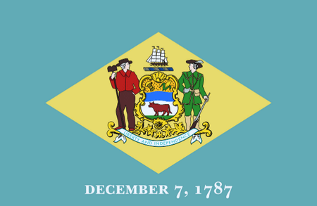
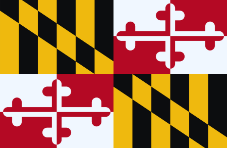
Nicknames  | The First State | The Old Line State |
Landlocked Status  | Not Landlocked | Not Landlocked |
Capital City  | Dover | Annapolis |
Latitude  | 39° 19′ 08″ N | 39° 07′ 24″ N |
Longitude  | 75° 24′ 00″ W | 76° 40′ 00″ W |
Indicators | Delaware | Maryland |
|---|---|---|
Motto (Latin)  | n/a | Fatti maschii, parole femine |
Motto (English)  | Liberty and Independence | Strong Deeds, Gentle Words |
State Anthem  | Our Delaware | Maryland, My Maryland |
Largest City  | Wilmington | Baltimore |
Demonyms  | Delawarean | Marylander |
Internet TLD or Official Website  | de.gov | maryland.gov |
ISO 3166 Code  | US-DE | US-MD |
The people of Delaware are called Delawarean, and the people of Maryland are called Marylander.
The total area of Delaware is 2,489 Square Mile, and the total area of Maryland is 12,406 Square Mile. Delaware is smaller than Maryland by 9,917 sq mile. Delaware is around 4.98 times smaller than Maryland.
Indicators | Delaware | Maryland |
|---|---|---|
Area in Square Mile  | 2,489 Sq Mile | 12,406 Sq Mile |
| Difference | [ 9,917 Square Mile] | |
Area in Square Kilometers  | 6,446 Sq km | 32,131 Sq km |
| Difference | [ 25,685 Square Kilometers] | |
Water % in Area  | 21.7 % | 21.8 % |
Indicators | Delaware | Maryland |
|---|---|---|
State Bird  | Blue Hen Chicken | Baltimore Oriole |
State Flower  | Peach Blossom | Black-eyed Susan |
State Sport  | None | Jousting |
State Tree  | American Holly | White Oak |
State Colors  | Colonial Blue and Buff | Red, White, Black, and Gold |
Indicators | Delaware | Maryland |
|---|---|---|
Current Date  | Sunday, 13th April, 2025 | Yet to Update |
Current Time  | 02:39 AM | Yet to Update |
Timezones  | UTC−05:00 (Eastern Standard Time) UTC−04:00 (Eastern Daylight Time) | UTC−05:00 (Eastern Standard Time) UTC−04:00 (Eastern Daylight Time) |
Current Timezone  | UTC−05:00 (Eastern Standard Time) | UTC−05:00 (Eastern Standard Time) |
Daylight Saving Time | Observed | Observed |
Daylight Saving Time Start  | Sunday, 10th March, 2024 | Sunday, 10th March, 2024 |
Daylight Saving Time End  | Sunday, 3rd November, 2024 | Sunday, 3rd November, 2024 |
Daylight Saving Time Duration  | 238 Days | 238 Days |
The current time and date in Delaware is [02:39 AM], [Sunday, 13th April, 2025 ].
Based on the elaboration of latest United States Census Bureau Data, the total population of Delaware as of 2023 is estimated to be around 989948, and the total population of Maryland as of 2023 is estimated to be around 6177224.
As per the above data, we can say that in the year 2023, Delaware had 5,187,276 more people than Maryland.
Indicators | Delaware | Maryland |
|---|---|---|
Total Population  | 989948 | 6177224 |
| Difference | [5,187,276] | |
Veterans  | 7.3 % | 6.8 % |
Male Veterans  | 90.4 % | 85.8 % |
Female Veterans  | 9.6 % | 14.2 % |
Indicators | Delaware | Maryland |
|---|---|---|
| [ LATEST WEATHER DATA ] | ||
Place  | Dover | Yet to Update |
Current Time | 02:39 AM | Yet to Update |
Current Weather  | Overcast Clouds | Yet to Update |
Current Temperature  | 5.91 Degree Celsius | Yet to Update |
Wind Speed  | 4.63 km/hr, 310 Degree | Yet to Update |
Humidity  | 87 % | Yet to Update |
We hope you enjoyed the detailed guide on the general information comparsion between Delaware and Maryland.
For more side-by-side comparsion between Countries, States and Cities, you can use the search box above or click the links below.
The Comparedoo.com family sincerely appreciates your time with us. We look forward to seeing you on our other pages.