

Published: Monday, 21th October 2024
Comparedoo.com welcomes you to explore the detailed comparison between São Tomé and Príncipe and Uganda.
Dive in and compare them across different aspects like cost of living, standard of living, geography, demographics, environment, society, economy, health factors and many more.
Enjoy exploring!

 Indicators  | São Tomé and Príncipe  | Uganda  |
|---|---|---|
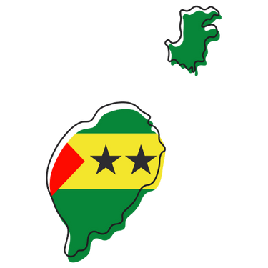
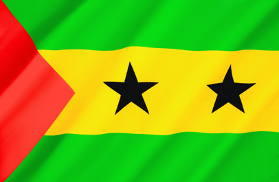
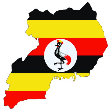
Official Name  | Democratic Republic of São Tomé and Príncipe | Republic of Uganda |
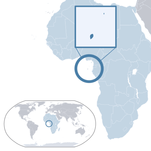
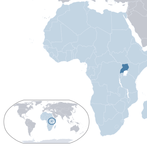
Continent  | Africa | Africa |
Landlocked Status  | Not Landlocked | Landlocked |
Capital City  | São Tomé | Kampala |
Latitude  | 0° 0′ 0″ N | 1° 0′ 0″ N |
Longitude  | 6° 0′ 0″ E | 32° 0′ 0″ E |
The total area of São Tomé and Príncipe is 964 sq km, and the total area of Uganda is 241,550 sq km. São Tomé and Príncipe is smaller than Uganda by 240,586 sq km. São Tomé and Príncipe is around 250.57 times smaller than Uganda.
Indicators | São Tomé and Príncipe | Uganda |
|---|---|---|
Area in Square Kilometers  | 964 Sq km | 241,550 Sq km |
| Difference | [ 240,586 Square Kilometers] | |
Area in Square Mile  | 372 Sq Mile | 93,065 Sq Mile |
| Difference | [ 92,693 Square Mile] | |
Water % in Area  | Negligible | 15.0 % |
Indicators | São Tomé and Príncipe | Uganda |
|---|---|---|
Largest City  | São Tomé | Kampala |
Demonyms  | São Toméan | Ugandan |
Official Languages  | Portuguese | English, Swahili |
Government Status  | Unitary semi-presidential republic | Unitary presidential republic under a dominant-party authoritarian state |
Major Religion  | Christianity | Christianity |
Major Religion Percentage  | 91.1 % | 84.4 % |
The people of São Tomé and Príncipe are called São Toméan, and the people of Uganda are called Ugandan.
Indicators | São Tomé and Príncipe | Uganda |
|---|---|---|
Currency Name  | São Tomé and Príncipe dobra | Ugandan Shilling |
Currency Symbol  | STN | UGX |
Driving Side  | Right | Left |
Calling Code  | +239 | +256 |
Internet TLD  | .st | .ug |
Start of Week  | Monday | Monday |
ISO 3166 Code  | ST | UG |
Indicators | São Tomé and Príncipe | Uganda |
|---|---|---|
National Anthem Title (Native)  | Independência total | Oh Uganda, Land of Beauty |
National Anthem Title (In English)  | Total Independence | Oh Uganda, Land of Beauty |
National Animal  | Grey Parrot | Grey Crowned Crane |
National Bird  | Giant Sunbird | Grey Crowned Crane |
National Flower  | None | Sunflower |
National Sport  | Football | Cricket |
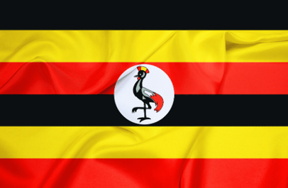
National Colors  | Green, yellow, red and black | Black, yellow and red |
Indicators | São Tomé and Príncipe | Uganda |
|---|---|---|
Current Date  | Monday, 14th April, 2025 | Monday, 14th April, 2025 |
Current Time  | 12:04 AM | 03:04 AM |
Timezones  | UTC+1 (West Africa Time) | UTC+3 (East Africa Time) |
Current Timezone  | UTC+1 (West Africa Time) | UTC+3 (East Africa Time) |
Daylight Saving Time | DST Not Observed | DST Not Observed |
Daylight Saving Time Start  | DST Not Observed | DST Not Observed |
Daylight Saving Time End  | DST Not Observed | DST Not Observed |
Daylight Saving Time Duration  | DST Not Observed | DST Not Observed |
The current time and date in São Tomé and Príncipe is [12:04 AM], [Monday, 14th April, 2025 ].
The current time and date in Uganda is [03:04 AM], [Monday, 14th April, 2025].
São Tomé and Príncipe is [ 3 hours ] behind of Uganda.
Based on the elaboration of latest World Bank Data, the total population of São Tomé and Príncipe as of 2023 is estimated to be around 231,856, and the total population of Uganda as of 2023 is estimated to be around 48,582,334.
As per the above data, we can say that in the year 2023, São Tomé and Príncipe had 48,350,478 less people than Uganda.
The annual Population Growth in São Tomé and Príncipe is 1.81% and the annual population growth in Uganda is 3.25%.
Indicators | São Tomé and Príncipe | Uganda |
|---|---|---|
Age ( 0 - 14 ) (Year: 2023)  | 26.2 % | 30.1 % |
Age ( 15 - 64 ) (Year: 2023)  | 70.3 % | 68.3 % |
Age ( 65+ ) (Year: 2023)  | 3.5 % | 1.65 % |
Indicators | São Tomé and Príncipe | Uganda |
|---|---|---|
| [ LATEST WEATHER DATA ] | ||
Place  | São Tomé | Kampala |
Current Time | 12:04 AM | 03:04 AM |
Current Weather  | Light Rain | Overcast Clouds |
Current Temperature  | 27.16 Degree Celsius | 17.55 Degree Celsius |
Wind Speed  | 2.64 km/hr, 221 Degree | 0.54 km/hr, 87 Degree |
Humidity  | 83 % | 93 % |
Indicators | São Tomé and Príncipe | Uganda |
|---|---|---|
Fertility Rate (2023)  | 3.75 (Births Per Woman) | 4.47 (Births Per Woman) |
Mortality Rate (Adult Male) (2023)  | 269.71 (Per 1000 Male Adults) | 325.65 (Per 1000 Male Adults) |
Mortality Rate (Adult Female) (2023) | 175.67 (Per 1000 Female Adults) | 233.91 (Per 1000 Female Adults) |
Infant Mortality Rate (2023)  | 11.3 (Per 1000 Live Births) | 30.2 (Per 1000 Live Births) |
Indicators | São Tomé and Príncipe | Uganda |
|---|---|---|
Top Cause of Death (2023)  | Lower respiratory infections (51.6 people per 100K population) | Neonatal conditions (60.5 people per 100K population) |
Lowest Cause of Death (2023)  | Congenital anomalies ( 12.6 people per 100K population) | Congenital anomalies ( 15 people per 100K population) |
Road Traffic Deaths (2023)  | 11.7 (people per 100K population) | 16 (people per 100K population) |
Suicide Deaths (2023)  | 1.48 (Number of suicide deaths per 100K people) | 4.59 (Number of suicide deaths per 100K people) |
New HIV Infections (2023)  | 0.06 (HIV infections per 1000 people) | 1.21 (HIV infections per 1000 people) |
The leading cause of death in São Tomé and Príncipe, is [ Lower respiratory infections ]. Around 51.6 people per 100,000 people in São Tomé and Príncipe, are dying of Lower respiratory infections.
Similarly, around 60.5 people per 100,000 people in Uganda, are dying of Neonatal conditions, as it is the leading cause of death in there.
The government of São Tomé and Príncipe, spent [ 7.83% ] of the amount of the Gross Domestic Product (GDP) in health sectors in the year 2023.
Likewise, the government of Uganda, spent [ 4.67% ] of the amount of the Gross Domestic Product (GDP) in health sectors in the year 2023.
Indicators | São Tomé and Príncipe | Uganda |
|---|---|---|
Prevalance Of Hypertension (2023)  | 45.1 (Percentage of adults [30-79] with hypertension) | 32.5 (Percentage of adults [30-79] with hypertension) |
Adult Obesity (2023)  | 16.5% (Percentage of Obesity in adults) | 7.9% (Percentage of Obesity in adults) |
Pure Alcohol Consumption (2023)  | 5.01 Liters (per adult over a calendar year) | 12.21 Liters (per adult over a calendar year) |
Tobacco Consumption (2023)  | 8% (Used by people aged 15 and above) | 8% (Used by people aged 15 and above) |
As per the data from the World Health Organization (WHO), people living in São Tomé and Príncipe, are 2.09 times more likely to be obese compared to the people living in Uganda.
We hope you enjoyed the detailed guide on the general comparison between São Tomé and Príncipe and Uganda.
For more side-by-side comparsion between Countries, States and Cities, you can use the search box above or click the links below.
The Comparedoo.com family sincerely appreciates your time with us. We look forward to seeing you on our other pages.