


Published: Monday, 21th October 2024
Comparedoo.com welcomes you to explore the detailed comparison between Virginia and Maryland.
Dive in and compare them across different aspects like cost of living, standard of living, geography, demographics, environment, society, economy, health factors and many more.
Enjoy exploring!


 Indicators  | Virginia  | Maryland  |
|---|---|---|
Official Name  | Commonwealth of Virginia | State of Maryland |
Nicknames  | The Old Dominion State | The Old Line State |
Landlocked Status  | Not Landlocked | Not Landlocked |
Capital City  | Richmond | Annapolis |
Latitude  | 37° 32′ 00″ N | 39° 07′ 24″ N |
Longitude  | 78° 16′ 00″ W | 76° 40′ 00″ W |
Indicators | Virginia | Maryland |
|---|---|---|
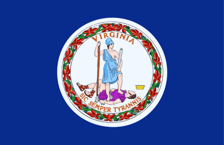
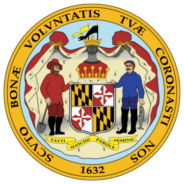
Motto (Latin)  | Sic semper tyrannis | Fatti maschii, parole femine |
Motto (English)  | Thus Always to Tyrants | Strong Deeds, Gentle Words |
State Anthem  | Our Great Virginia | Maryland, My Maryland |
Largest City  | Virginia Beach | Baltimore |
Demonyms  | Virginian | Marylander |
Internet TLD or Official Website  | virginia.gov | maryland.gov |
ISO 3166 Code  | US-VA | US-MD |
The people of Virginia are called Virginian, and the people of Maryland are called Marylander.
The total area of Virginia is 42,775 Square Mile, and the total area of Maryland is 12,406 Square Mile. Virginia is bigger than Maryland by 30,369 sq mile. Virginia is around 3.45 times bigger than Maryland.
Indicators | Virginia | Maryland |
|---|---|---|
Area in Square Mile  | 42,775 Sq Mile | 12,406 Sq Mile |
| Difference | [ 30,369 Square Mile] | |
Area in Square Kilometers  | 110,787 Sq km | 32,131 Sq km |
| Difference | [ 78,656 Square Kilometers] | |
Water % in Area  | 7.7 % | 21.8 % |
Indicators | Virginia | Maryland |
|---|---|---|
State Bird  | Northern Cardinal | Baltimore Oriole |
State Flower  | Dogwood | Black-eyed Susan |
State Sport  | None | Jousting |
State Tree  | Flowering Dogwood | White Oak |
State Colors  | Blue and Gold | Red, White, Black, and Gold |
Indicators | Virginia | Maryland |
|---|---|---|
Current Date  | Wednesday, 9th April, 2025 | Yet to Update |
Current Time  | 09:37 AM | Yet to Update |
Timezones  | UTC−05:00 (Eastern Standard Time) UTC−04:00 (Eastern Daylight Time) | UTC−05:00 (Eastern Standard Time) UTC−04:00 (Eastern Daylight Time) |
Current Timezone  | UTC−05:00 (Eastern Standard Time) | UTC−05:00 (Eastern Standard Time) |
Daylight Saving Time | Observed | Observed |
Daylight Saving Time Start  | Sunday, 10th March, 2024 | Sunday, 10th March, 2024 |
Daylight Saving Time End  | Sunday, 3rd November, 2024 | Sunday, 3rd November, 2024 |
Daylight Saving Time Duration  | 238 Days | 238 Days |
The current time and date in Virginia is [09:37 AM], [Wednesday, 9th April, 2025 ].
Based on the elaboration of latest United States Census Bureau Data, the total population of Virginia as of 2023 is estimated to be around 8631393, and the total population of Maryland as of 2023 is estimated to be around 6177224.
As per the above data, we can say that in the year 2023, Virginia had 2,454,169 more people than Maryland.
Indicators | Virginia | Maryland |
|---|---|---|
Total Population  | 8631393 | 6177224 |
| Difference | [2,454,169] | |
Veterans  | 9.2 % | 6.8 % |
Male Veterans  | 84.9 % | 85.8 % |
Female Veterans  | 15.1 % | 14.2 % |
Indicators | Virginia | Maryland |
|---|---|---|
| [ LATEST WEATHER DATA ] | ||
Place  | Richmond | Yet to Update |
Current Time | 09:37 AM | Yet to Update |
Current Weather  | Clear Sky | Yet to Update |
Current Temperature  | 5.98 Degree Celsius | Yet to Update |
Wind Speed  | 4.63 km/hr, 50 Degree | Yet to Update |
Humidity  | 43 % | Yet to Update |
We hope you enjoyed the detailed guide on the general information comparsion between Virginia and Maryland.
For more side-by-side comparsion between Countries, States and Cities, you can use the search box above or click the links below.
The Comparedoo.com family sincerely appreciates your time with us. We look forward to seeing you on our other pages.